




AI, drone technologies scan over 135,000 mosquito breeding sites
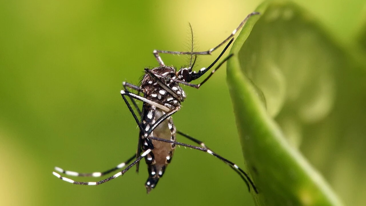
ARTIFICIAL intelligence combined with drone technology was instrumental in identifying more than 135,000 potential mosquito breeding sites across Dar es Salaam.
The flight mapping conducted during September 2023 saw the drones capture ultra-high-resolution images covering about 27 square kilometres, on the basis of findings published in the journal PLOS for neglected tropical diseases recently.
The study arose from an international research collaboration involving scientists from Tanzania, the United Kingdom, and Denmark. Researchers from the Ifakara Health Institute worked with European partners to test whether drone imagery and machine learning could improve surveillance of Aedes mosquitoes, the primary vectors of dengue, zika, chikungunya and yellow fever.
In the study, an artificial intelligence model successfully detected around 75 percent of water storage tanks, 72 percent of discarded tires and 54 percent of buckets and jerry cans from high-resolution aerial images.
This capability enables rapid identification of mosquito breeding habitats often missed during conventional ground inspections, including containers hidden on rooftops or in hard-to-reach urban areas, the summary exposition states.
The research was focused on Dar es Salaam as a rapidly expanding coastal city where unplanned urban growth, densely populated informal settlements and inadequate waste management have created ideal breeding conditions for mosquitoes.
The city has experienced repeated dengue outbreaks in recent years, while health experts also suspect ongoing transmission of chikungunya and yellow fever, even as experts think that the factual level of these diseases is significantly underreported.
Traditional mosquito surveillance methods rely on field teams conducting door-to-door inspections to locate standing water where mosquitoes lay eggs. While effective in small areas, the approach is labour-intensive and difficult to scale across sprawling urban environments.
To address these limitations, researchers’ deployed drones across 20 neighbourhoods representing different housing and environmental conditions, the study explains.
The images were then processed using a deep learning system based on a U-Net neural network architecture, a model trained using thousands of manually labelled examples of common mosquito breeding containers, including water tanks, buckets, jerry cans and discarded tires. In total, more than 15,000 containers were manually identified during the training phase, facilitating identification of such objects across large datasets when drones scanned the areas.
Once trained, the model scanned the wider survey area, dotting out more than 135,000 potential mosquito breeding containers. Large water storage tanks were the easiest objects for the system to detect due to their size and visibility from above. Discarded tires also showed strong detectability, while smaller items such as buckets and jerry cans were more difficult to identify because of their size and variation in shape.
One of the most striking discoveries was the presence of discarded tires stored on rooftops. Researchers noted that these elevated containers can collect rainwater and create sheltered breeding environments for Aedes mosquitoes, yet they are largely invisible to routine ground-based inspections.
Public health experts say such hidden breeding sites may help explain why mosquito control programmes sometimes struggle to eliminate outbreaks despite extensive field operations.
The study also compared AI-generated results with field data collected by community surveillance teams between July 2023 and February 2024. This ground verification confirmed that Aedes larvae were most commonly found in buckets, jerry cans, tires and water storage tanks.
While larvae were occasionally detected in natural water bodies such as puddles and drainage channels, the strongest and most consistent associations were with small artificial containers located around homes and commercial areas.
Researchers further observed that the distribution of buckets and discarded tires closely mirrored population density patterns, suggesting that human activity plays a major role in shaping mosquito breeding hotspots.
By contrast, water storage tanks showed a different spatial pattern, likely influenced by variations in water supply reliability across neighbourhoods.
The study highlights how integrating drone surveillance with artificial intelligence could significantly enhance urban mosquito control strategies. By identifying high-risk locations more efficiently, health authorities could shift from broad, labour-intensive inspections to more targeted interventions focused on confirmed breeding hotspots.
The study method offers public health authorities a transformative new tool to combat dengue and other mosquito-borne diseases in a fast-growing urban centre, whose features are .likely to be true of various large urban centres in the region and beyond.
While aerial imaging cannot capture every breeding site—particularly those hidden beneath roofs, vegetation or indoor environments—combining drone mapping with community-based surveillance offers a scalable and cost-effective approach to urban vector control, researchers noted.
Dengue and other mosquito-borne diseases pose a growing global health threat, with such technological innovations likely to give public health systems a critical advantage in detecting and eliminating mosquito habitats before outbreaks escalate, the study affirms.
Top Headlines
Trending Stories










© 2026 IPPMEDIA.COM. ALL RIGHTS RESERVED